Topcon and GreenValley International Strategic Agreement Launches Next Generation Spatial Intelligence Workflow Solutions
Global geospatial engineering developers form the Topcon and GreenValley International technology alliance to combine advanced artificial intelligence software with laser scanners for modern map making.
What’s the News About Topcon and GreenValley International?
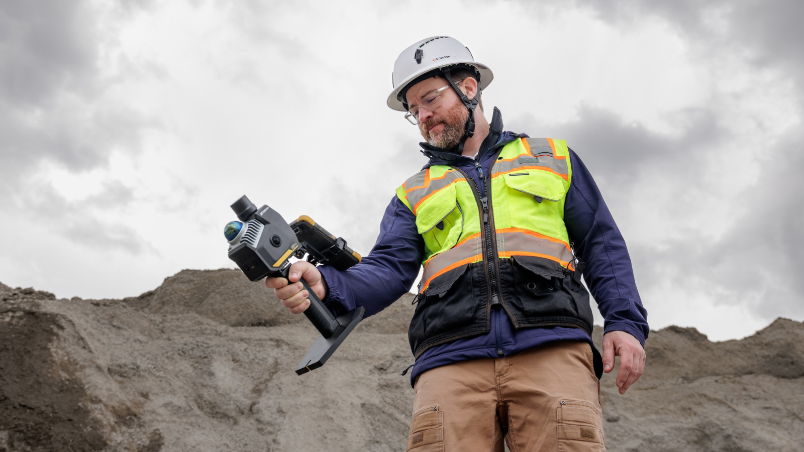
The formal announcement reveals that the Topcon and GreenValley International corporate partnership has officially launched at a major geographic systems exhibition in San Diego California. This newly formed Topcon and GreenValley International alliance outlines a shared plan to manufacture advanced measurement tools that combine hardware and programming code together. Field engineers will use these specific joint tools to gather three dimensional point collections from the ground, from airplanes, or using mobile mapping setups. The joint venture combines precision laser scanners with intelligent automated calculations to speed up spatial tasks for mapping professionals worldwide.
Why Is Topcon and GreenValley International Significant?
The combined technology created by Topcon and GreenValley International is highly significant because it simplifies the complex process of turning raw geographical laser data into clean, usable maps. For example, a forestry team mapping tree growth in a dense jungle can use Topcon and GreenValley International workflows to group types of vegetation automatically without reviewing thousands of image files manually. By merging precise position hardware with smart analytical programming, Topcon and GreenValley International tools help workers gather high quality information in remote locations. This means that builders can track site progress and utility crews can monitor long distance infrastructure without facing data lag or human calculation errors.
What’s Next for Topcon and GreenValley International?
The long term research roadmap for Topcon and GreenValley International focuses on building autonomous monitoring systems and real time cloud processing networks. Future software updates from Topcon and GreenValley International will introduce deeper artificial intelligence components to extract specific ground features from data streams instantly. The engineering groups plan to deploy these smart tools across robotic construction platforms and driverless site mapping vehicles. As cities expand, the ongoing collaboration between Topcon and GreenValley International will ensure that mapping tools utilize real time data transfers to keep digital maps accurate.