Why Severe Thunderstorm Warning Trends Across the US and How Radar Tech Saves Lives
Understand why a severe thunderstorm warning is issued, how modern radar and AI weather models predict extreme storms, and why alerts are trending across the US.
A severe thunderstorm warning is currently trending across the United States as summer heatwaves and intense atmospheric instability trigger widespread weather alerts. Millions of residents across the Midwest, Great Lakes, and East Coast are receiving urgent notifications on their smartphones as fast-moving storm systems bring damaging wind gusts over 60 mph, large hail, torrential rain, and isolated tornado threats. While receiving a severe thunderstorm warning on your phone is a common occurrence during peak summer months, few people realize the massive technological infrastructure required to detect, analyze, and broadcast these warnings in real time. From advanced dual-polarization radar systems to artificial intelligence forecasting models, technology is revolutionizing how meteorologists keep communities safe.
Why is the severe thunderstorm warning trending across the United States today?
The primary reason a severe thunderstorm warning is dominating news headlines today stems from a powerful combination of extreme heat and humidity stretching across several US states. High dew points and summer temperatures create high amounts of convective available potential energy (CAPE) in the atmosphere. When cold fronts or atmospheric gravity waves collide with this warm, moisture-rich air mass, explosive storm development occurs within minutes.
In recent days, regions across Michigan, Wisconsin, and Indiana have experienced rapid storm initiation that caught traditional computer models off guard. Fast-moving squall lines have knocked out power to tens of thousands of homes, downed trees, and generated localized flooding. As the National Weather Service (NWS) pushes out frequent alerts to mitigate dangerous road conditions and structural damage, search traffic for severe weather updates has skyrocketed nationwide.
What technology triggers a severe thunderstorm warning in real time?
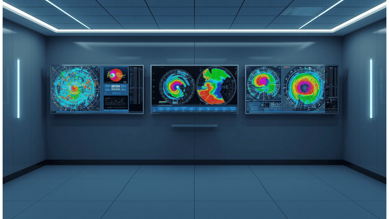
The backbone of every official severe thunderstorm warning issued in the United States is the Next Generation Radar (NEXRAD) network operated by the National Weather Service, FAA, and US Air Force. This network consists of 160 high-powered Doppler radar towers strategically positioned across the country. Doppler radar works by emitting high-frequency electromagnetic pulses into the atmosphere and measuring the energy reflected back by raindrops, ice crystals, and hail.
Modern upgrades to this system, known as Dual-Polarization radar, send out both horizontal and vertical pulses simultaneously. This dual-wave approach allows meteorologists to discern the exact shape, size, and density of objects floating in the sky.
Key technological capabilities include:
- Precipitation Identification: Differentiating instantly between light rain, heavy downpours, wet snow, and dangerous hail stones.
- Wind Velocity Mapping: Measuring how fast wind particles are moving toward or away from the radar tower to detect destructive straight-line microbursts exceeding 70 mph.
- Debris Detection: Identifying airborne debris lifted into the air during severe weather events to verify ground-level damage immediately.
How do AI models improve severe thunderstorm warning lead times?
How Warn-on-Forecast technology gives families more time to seek shelter
Traditionally, weather warnings operated on a “warn-on-detection” model, meaning a severe thunderstorm warning was only issued after radar sensors physically spotted severe hail or high winds developing. However, cutting-edge projects like NOAA’s Warn-on-Forecast System (WoFS) are shifting the industry toward a “warn-on-forecast” approach driven by high-performance computing and machine learning algorithms.
The WoFS framework assimilates live radar, satellite cloud-top temperature readings, and surface weather observations every 5 to 15 minutes. Advanced artificial intelligence algorithms process millions of atmospheric data points to simulate thunderstorm growth up to six hours in advance. By predicting individual storm rotation and updraft strength before severe characteristics appear on standard radar, forecasters can issue a severe thunderstorm warning with significantly longer lead times, giving families and emergency responders crucial extra minutes to seek safety.
Which alert systems ensure you receive a severe thunderstorm warning instantly?
Detecting a dangerous storm is only half the battle; delivering an immediate alert to millions of people in a targeted path requires sophisticated communications technology. When an NWS meteorologist draws a warning polygon over a specific county, the alert is instantly distributed through the Wireless Emergency Alerts (WEA) network.
WEA technology uses cell-broadcast infrastructure rather than standard text messaging, allowing emergency broadcasts to bypass cellular network congestion during a crisis. Cell towers within the warning polygon broadcast a distinctive loud tone and vibration directly to all compatible mobile devices in the area. Paired with NOAA Weather Radio networks, emergency mobile apps, and automated TV broadcast interruption systems, modern communication tech guarantees that a critical severe thunderstorm warning reaches people whether they are at home, on the road, or asleep.